Digital Elevation Model- a digital model of elevation or altitude that can be represented by regularly or irregularly spaced point height values.
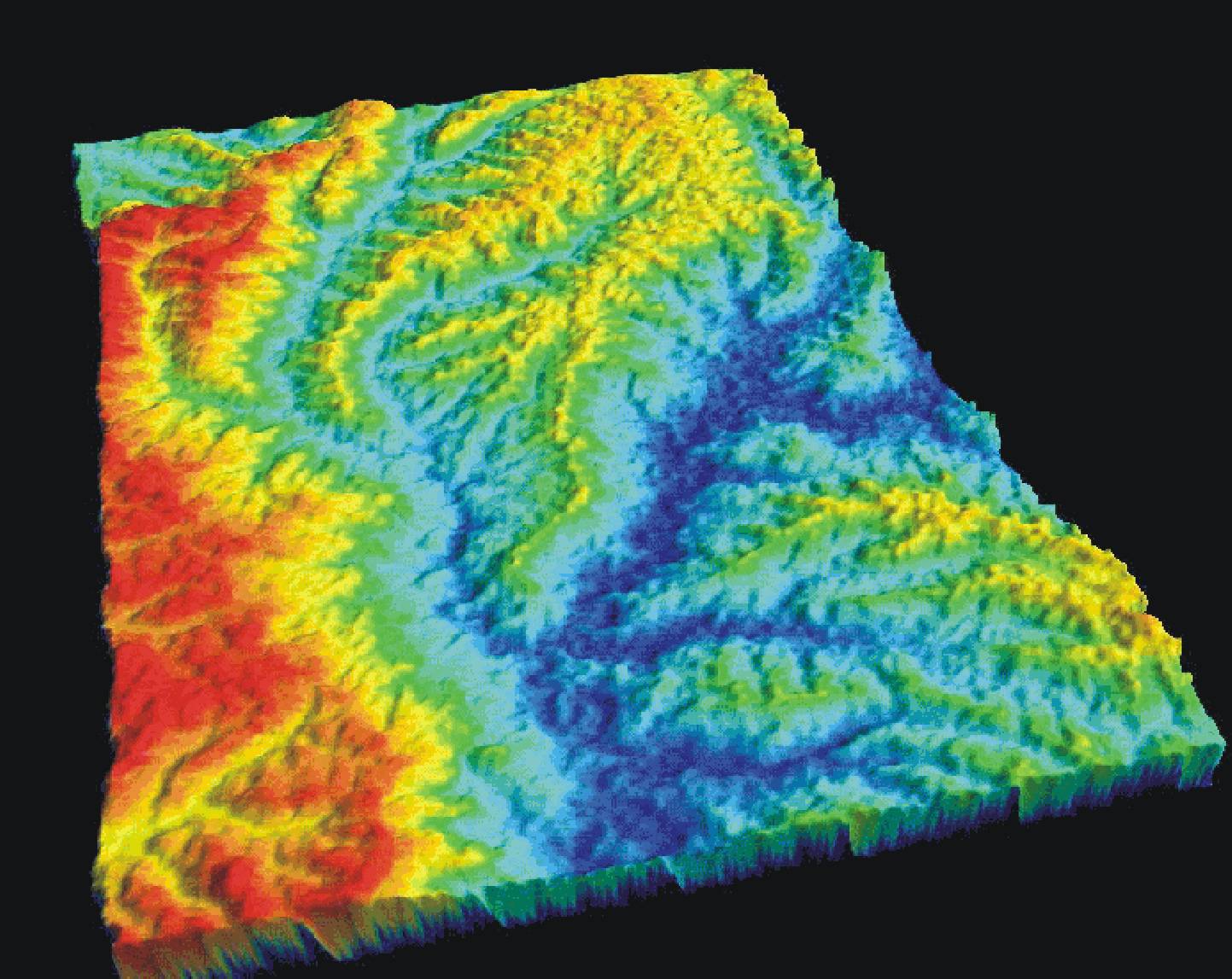
A digital elevation model represents ground surface or topography. It is computer-created from data that are plotted on a map and then filled in to create a 3-dimensional map. Digital elevation models can be tilted and rotated to make each feature more accessible and to aid viewing of the overall area. This map is a digital elevation model of a part of Lesotho, in southern Africa. Red is the highest elevation and dark blue is the lowest.
No comments:
Post a Comment